New dimensions,new adventure.
We’re not inventing a new technology. We fuse two mature ones — FPV drones and virtual reality — into a single extended experience of flight, run inside a safe, supervised envelope.
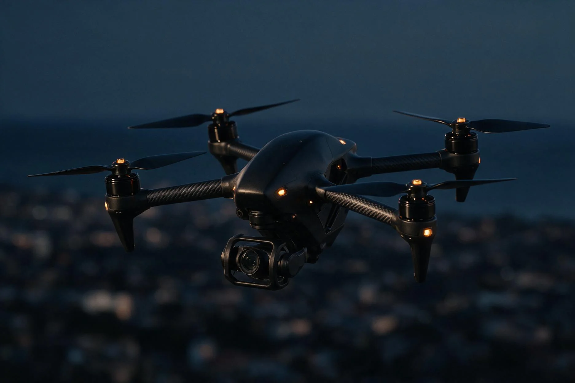
Safe, uninterrupted skies.
Every flight lives inside a defined safe-operating region of altitude and speed. AI monitors conditions in real time, trims the flight parameters, and holds the aircraft inside the envelope — with geofencing, obstacle avoidance and return-to-home as standing safeguards.
Altimeter adjusted to Skydock QFE
One footprint. A whole droneport.
The Skydock is Skychaser’s integrated droneport — one hub for the launch, recovery, VR flight operations, maintenance and coordination of both autonomous and piloted drones, and the ground home for every immersive flight.
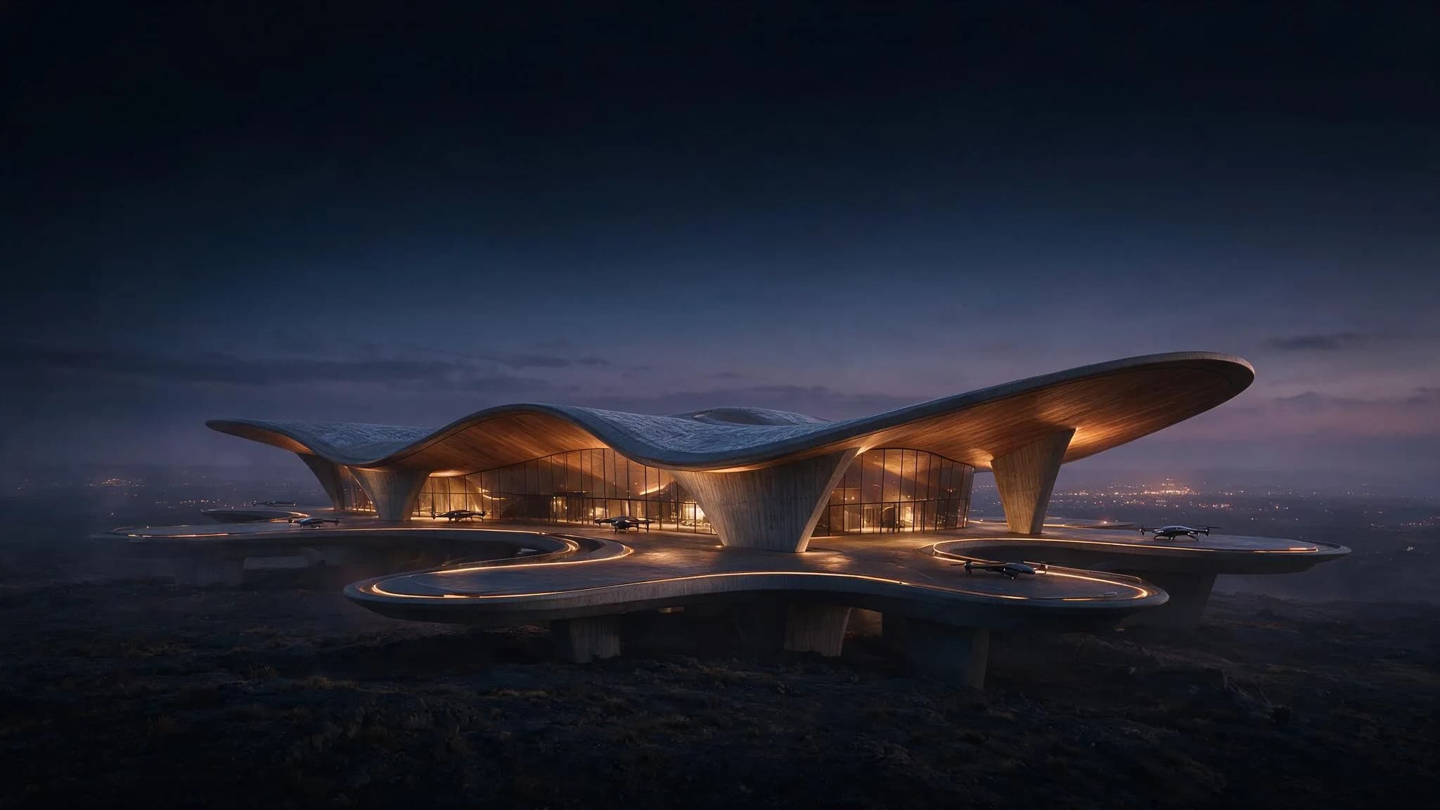
Landing + Takeoff
TLZPrecision pads for automated launch and recovery, flight after flight.
Hangar + Engineering
MaintenanceOn-station servicing, diagnostics and fleet maintenance between windows.
Flight + Command Centre
OperationsLive coordination of autonomous and piloted drones across the day.
Food + Beverage
HospitalityCafés and refreshment for visitors, before and after every flight.
Visitor Centre + Store
ArrivalsArrivals, briefing and the Skychaser store — the ground experience.
From waypoint to worn view.
Plan the flight
A path from geo-coordinates, altitude and camera orientation — pre-planned in a mission planner, or generated live in VR by AI flight planning.
Fly autonomously
The aircraft takes the mission and flies it: speed, altitude, gimbal and orientation under continuous control from the ground.
Stream to VR
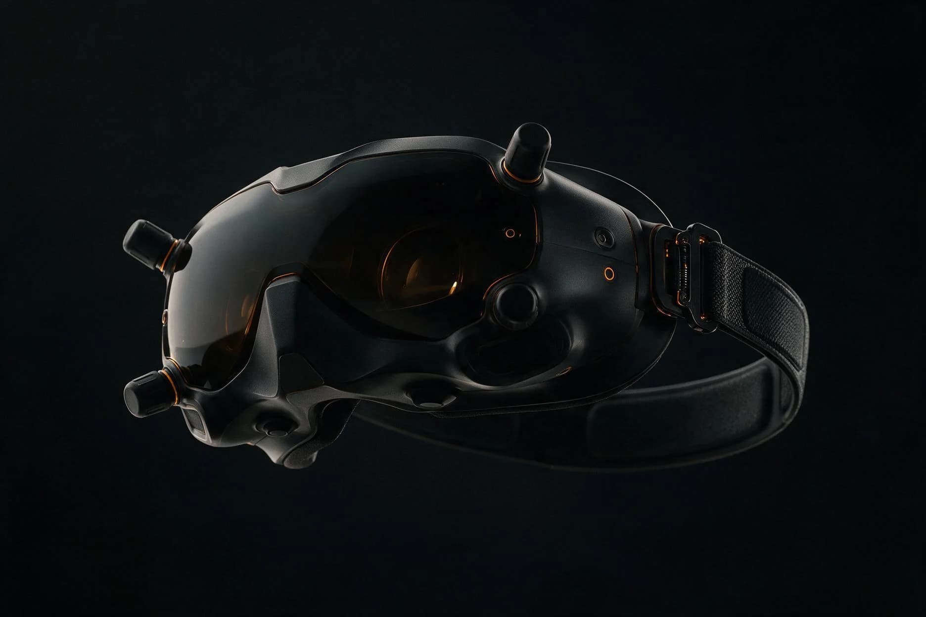
The live, low-latency feed streams to the headset. Head-tracking drives the view — and can take the gimbal for a fully immersive POV.
The numbers, on the record.
Flight
- Endurance
- 30+ min
- Range
- 20+ km
- Ceiling
- 4,000 m
- Wind resistance
- ~ Level 5
Capture
- Resolution
- 4K
- Stabilisation
- 3-axis gimbal
- Optics
- Low-light
- Tracking
- Subject / POI
Immersion
- Display
- Micro-OLED / eye
- Latency
- Sub-second*
- View
- Head-tracked POV
- Control
- Gimbal via head
Scale
- Concurrent flights
- 100+*
- Per flight
- 5–10 Mbps
- Group size
- ≤ 30 headsets
- Deployment
- Multi-site edge
* Roadmap target. Figures are durable platform capabilities, not a specific hardware bill of materials.
Built to scale, end to end.
A platform that spans hardware, networking, edge and cloud, AI and security — engineered from the start to run many flights, at many destinations, at once.
Drone hardware
- FPV aircraft + gimbal
- GPS + obstacle sensors
- 4K live capture
Stable, sensor-aware capture and streaming from the air.
Onboard + edge
- Edge AI inference
- Low-latency relay
- On-site compute
Process and relay video close to the flight, not the cloud.
Control + coordination
- Mission planner
- Telemetry tracking
- Geofencing + AI collision
Manual or autonomous flight, with airspace enforced.
Networking
- Private mesh + 5G
- Secure tunnels
- NAT traversal
Reliable, secure links between drone, edge and cloud.
Flight-ops scale
- Multi-site edge
- Load-aware scheduling
- Per-flight isolation
Designed for 100+ concurrent flights and live feeds.
AI + ML
- POI / landmark CV
- AI pilot assist
- Auto-highlights
Smarter routing, avoidance and scene understanding.
Admin monitoring
- Fleet telemetry
- Logs + health
- Ops dashboards
Real-time visibility across every drone and site.
Security + compliance
- End-to-end encryption
- Identity + OAuth
- Geofencing enforcement
Private sessions, identity control, safety compliance.